A significant milestone in the journey of the National Underground Asset Register (NUAR) has been reached with the news that it has now moved out of minimum viable product (MVP) and into the ‘public beta’ phase, on its way to being fully operational by the end of 2025
NUAR brings together all underground assets across England, Wales and Northern Ireland into a single, centralised database operated by the Ordnance Survey. It will deliver more than £400m per year in terms of economic growth and support the government’s missions, particularly in energy and housing.
While AtkinsRéalis was responsible for the build phase of the project and delivered the MVP, OS took over operational responsibility from 1 April 2025.
Now, with more than 300 asset owners’ information being currently shared through the service, NUAR already provides one of the most comprehensive datasets of underground pipes and cables in England, Wales and Northern Ireland, and work will continue towards building this coverage still further to ensure planners and excavators have the information they need to carry out their works safely and efficiently.
A key step to achieving that coverage has been the removal of restrictions on user numbers – previously users were capped per organisation. With no restrictions on users, utility providers and their contractors can now choose how, when and if to use NUAR to enhance their safe digging practices when accessing underground asset data.
NUAR’s evolution continues
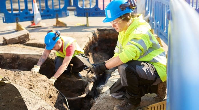
When work began on NUAR, the key focus was on how to enhance safety and efficiency in managing the UK’s complex network of buried apparatus, comprising around 4m kilometres of underground pipes and cables. In order to fix and maintain these assets a hole is dug every seven seconds, resulting in around 60,000 accidental strikes every year.
However, there was no standard format for sharing underground asset information in England, Wales and Northern Ireland. As a result, asset owners currently hold their records in a wide variety of different formats, from custom-built databases to non-vectorised PDF files.
To build a single, harmonised map of underground assets, all data had to be converted into a common standard format on a massive scale, with data coming from hundreds of asset-owning organisations. It also had to be easily repeatable so that when asset owners updated their records, these changes could flow through to the NUAR platform.
Today, NUAR provides one of the most comprehensive and authoritative datasets of underground pipes and cables in the regions it operates, which includes the networks of all major gas, electricity and water providers, alongside a significant proportion of all telecommunication networks.
Openreach has become the latest asset owner to agree to share its data in NUAR, which is a significant addition to the platform.
This data is integrated into a single online map providing information instantly to users, any time of the day, any day of the year.
This means planners and excavators get access to the data they need, when they need it, to carry out their work effectively and safely, reducing the time taken to access underground data from an average of six days pre-NUAR to 60 seconds.
From the project onset, the system has been developed collaboratively with users. This was a process of continual feedback and improvement, with the team using a combination of user conversations, testing and focus groups to help develop the bespoke solution.
This allows users to securely and efficiently access this critical infrastructure data. Particular focus has gone into making the map mobile friendly, as feedback indicates this will be a significant proportion of the user base.
Additional enhancements to mark next phase
To coincide with the shift into public beta, a range of other enhancements have also been rolled out. These include:
- New quick access coverage list in the map view, which allows users to see at a glance all the asset owners NUAR holds for their operational area, allowing rapid confirmation that NUAR will provide the data they need at the click of a button.
- Clear labelling of every pipe, cable cabinet etc, with how recently that data was refreshed, allowing users to make quick, well-informed judgements on how current the data they are using for their safe dig decision-making.
- Data currency dashboard for administrators, which reports the percentage of asset owners who have refreshed their data according to the agreed update schedules, making the management of data refreshes quicker and simpler.
- For Northern Ireland users: backdrop mapping will now be available at a similar up-time rate as the service in England and Wales (99.5% or higher). Additionally, the mapping will use lighter styling to make utility assets stand out more clearly.
What’s next for NUAR?
The NUAR platform has already been scaled and made more resilient in advance of the removal of restrictions on user numbers and it currently operates with an uptime exceeding 99.5%.
As the service heads towards becoming fully operational, the UK government, with the support of OS and AtkinsRéalis, is continuing to work together with stakeholders across the country to test and refine ideas regarding how NUAR data could be useful for other purposes and users.
Collaboration with asset owners, local authorities and other stakeholders will continue to be crucial to ensure that NUAR meets the needs of all users, and its full potential as a transformative digital innovation with national economic impact, increasing safety and efficiency for all those working with our underground networks.
The post NUAR goes public as it moves into next phase of development appeared first on Planning, Building & Construction Today.